Zaelet's software solutions provide powerful tools for data collection, processing, and analysis, seamlessly integrating with our hardware products to deliver comprehensive geospatial solutions.
Modular Engineering Surveying Software
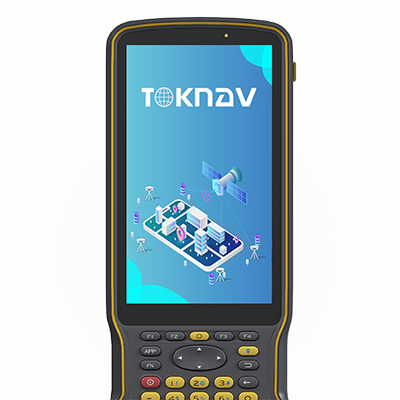
tSurvey is a comprehensive engineering surveying software designed for Android devices, providing a complete solution for data collection, processing, and analysis in the field. With its modular architecture, tSurvey can be customized to meet the specific needs of various surveying applications.
The software seamlessly integrates with Zaelet's hardware products, including GNSS receivers, total stations, and other surveying instruments, enabling efficient workflows and accurate results. tSurvey's intuitive interface and powerful features make it the ideal companion for professional surveyors and engineers.
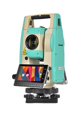
The Survey Module provides comprehensive tools for data collection in the field, including point measurement, line and area mapping, and feature coding. It supports various survey methods, including RTK GNSS, total station, and manual input.
The Stakeout Module enables precise positioning of design points in the field, supporting point, line, and surface stakeout. It provides real-time guidance and visual feedback to ensure accurate placement of stakes.
The COGO (Coordinate Geometry) Module offers a comprehensive set of tools for geometric calculations, including intersections, offsets, transformations, and area calculations, enabling surveyors to solve complex geometric problems in the field.
The Road Module provides tools for road design, alignment, and stakeout, supporting horizontal and vertical alignments, cross-sections, and superelevation. It enables efficient layout of road projects in the field.
The Monitoring Module enables automated monitoring of structures and terrain, providing tools for deformation analysis, trend detection, and alert generation. It supports various monitoring methods, including GNSS and total station measurements.

Desktop Data Processing Software
tOffice is a powerful desktop software for processing and analyzing survey data collected in the field. It provides a comprehensive set of tools for data adjustment, visualization, and reporting, enabling surveyors to transform raw field data into valuable deliverables.
With seamless integration with tSurvey, tOffice enables efficient workflows from field to office, ensuring data integrity and consistency throughout the project lifecycle. Its advanced features and intuitive interface make it the ideal solution for professional survey data processing.

123 Science Avenue
Shanghai Technology Park
Shanghai, China
info@zaelet.com
45 Independence Road
Accra Business District
Accra, Ghana
+233 552511880
africa@zaelet.com